
Keith Dotson celebrates the centennial of the ‘Mother Road’ with a new book of black and white photographs made on Route 66
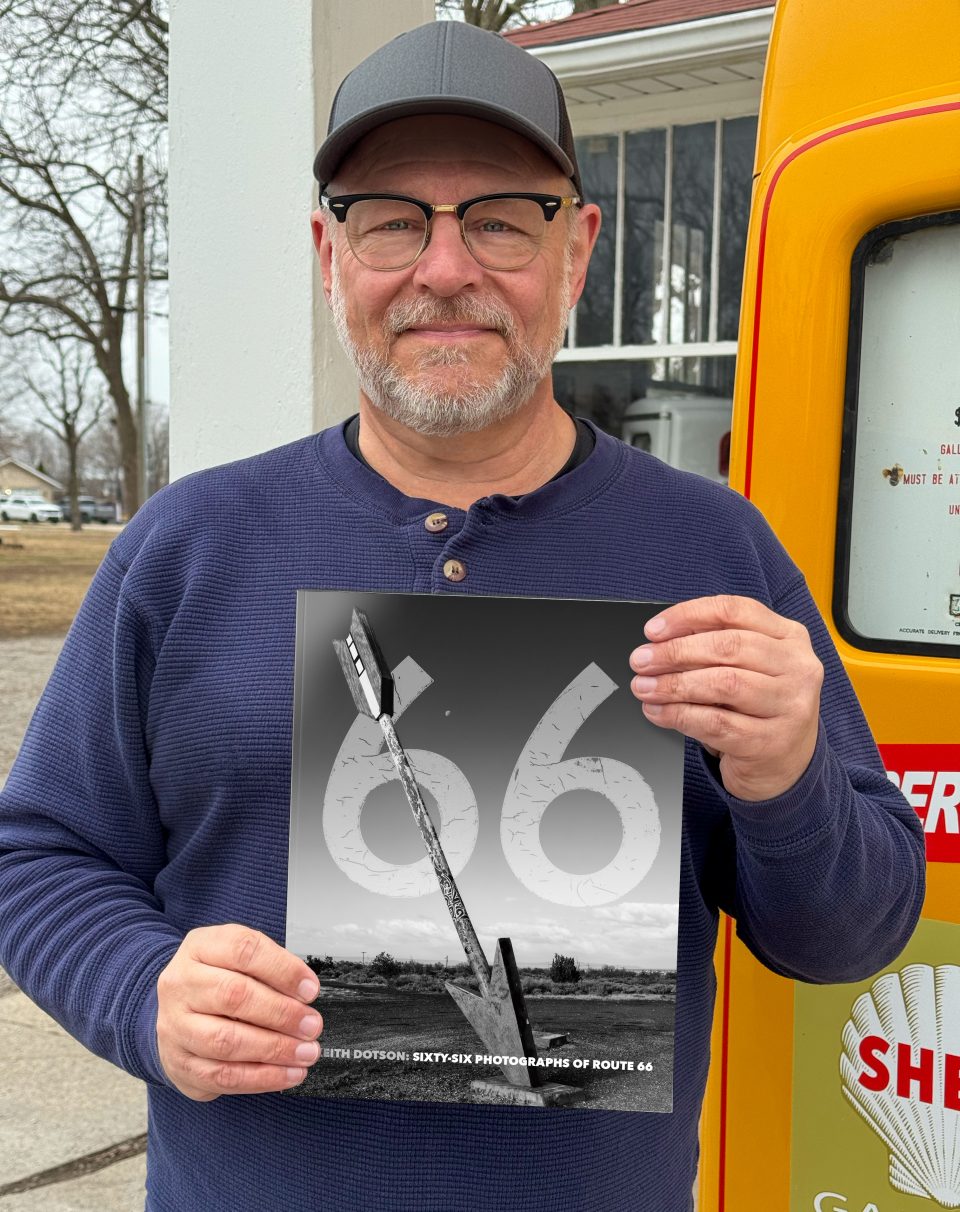
I’m excited to announce my new book, Sixty-Six Photographs of Route 66, published in 2026, on the 100th anniversary of Route 66.
Publishing is expensive, but it was important to me to keep this book as affordable as possible. I worked with a number of print shops to get the best print quality possible for the most affordable price.
Details
72-pages
© 2026 Keith Dotson. All rights reserved.
ISBN-13: 979-8-234-00391-1
Printed in the United States of America
Buy Your Copy Here
Signed copies can be purchased on my website at keithdotson.com/books for $25.00 + shipping.
The book is also available on Amazon but fulfillment costs and Amazon markups cause the Amazon version to be substantially higher. It’s still probably the best choice for International buyers. The price is $66.00 at the time this was posted, but is subject to change.
Digital Download
A specially designed digital download PDF version can be purchased here for $7.99.
Watch a Brief Video About My New Book
My Book of Photographs of Route 66 Recognizes the Abandoned Places
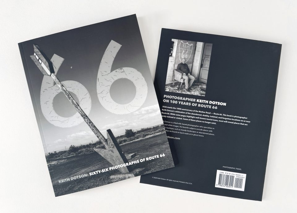
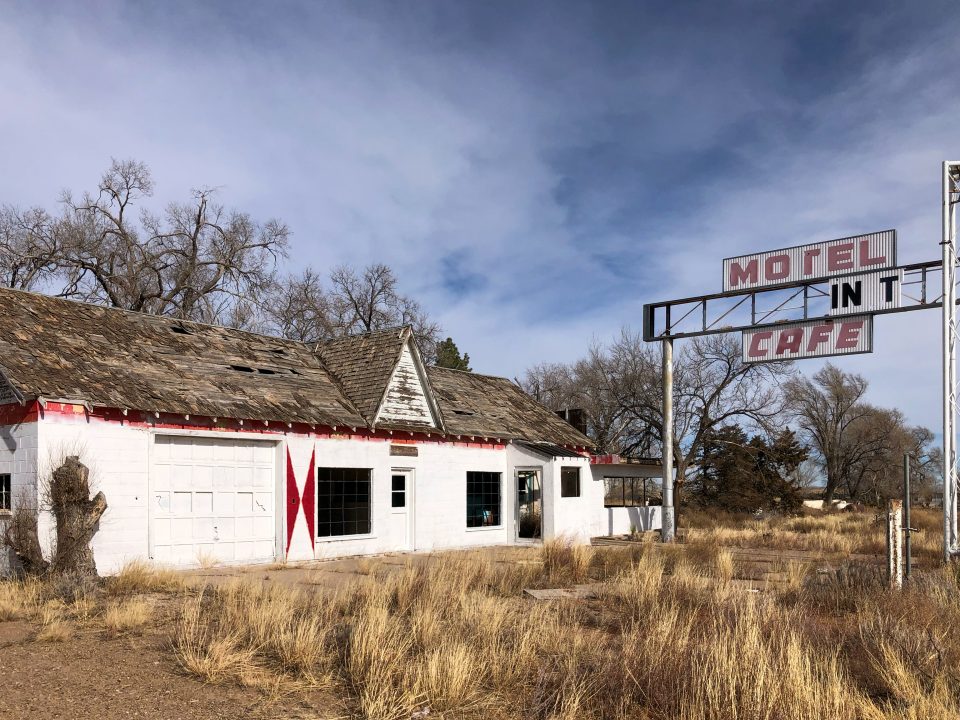
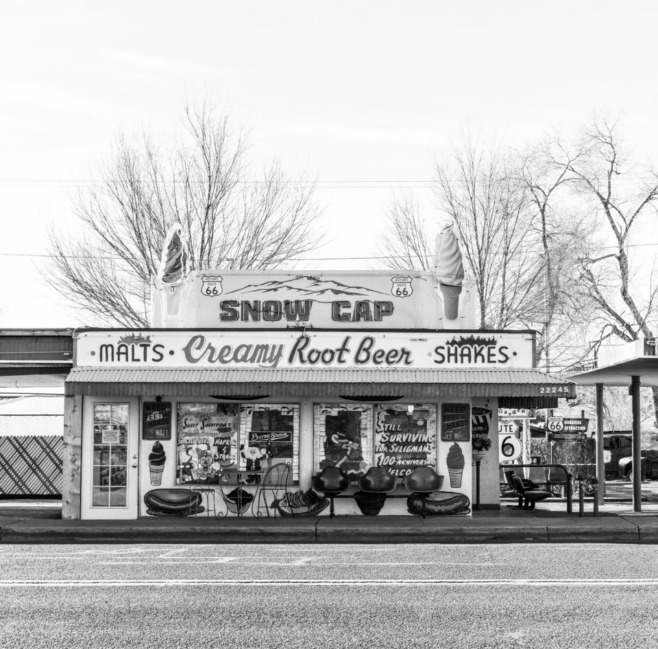
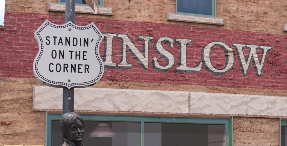
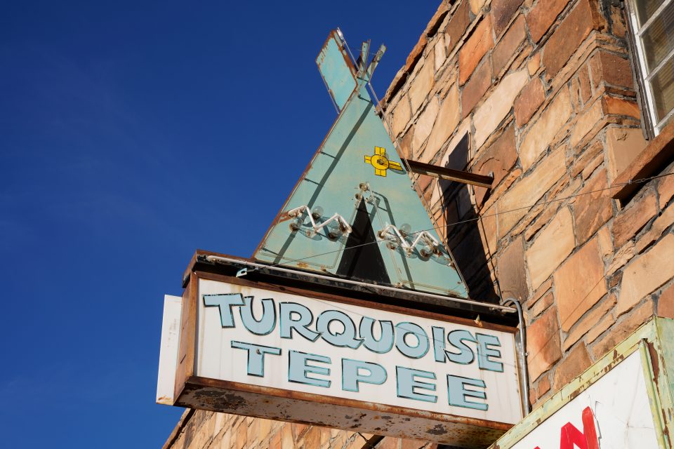
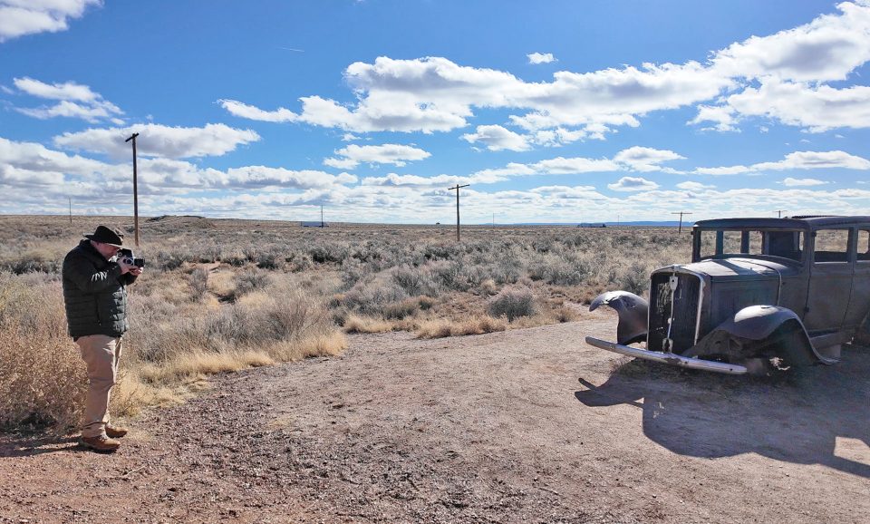
Sixty-Six Photographs of Route 66 is a 72-page photo book featuring my own original black-and-white images made on multiple journeys along the legendary Mother Road — Route 66. Among the photographs are well-known icons of Route 66, but also many unknown or forgotten locations, including several which are abandoned, and some which have since been demolished or removed. The photographs take readers to ghost towns like Texola, Oklahoma, and Glenrio, which straddles the state line between Texas and New Mexico, but also to well-known Route 66 destinations like Seligman, Arizona. Along the way, I found rusting abandoned classic automobiles, vintage neon signs, weathered boards on collapsing houses, faded ghost sign wall ads, and some of the world’s most beautiful landscapes.
All of the photographs in the book are reproduced in crisp, classic black and white. Where possible, buildings are identified and brief but often fascinating histories are offered.
Publishing is expensive, but it was important to me to keep this book as affordable as possible. I worked with a number of print shops to get the best printing possible for the most affordable price.

Locations Featured in Keith Dotson’s Sixty-Six Photographs of Route 66
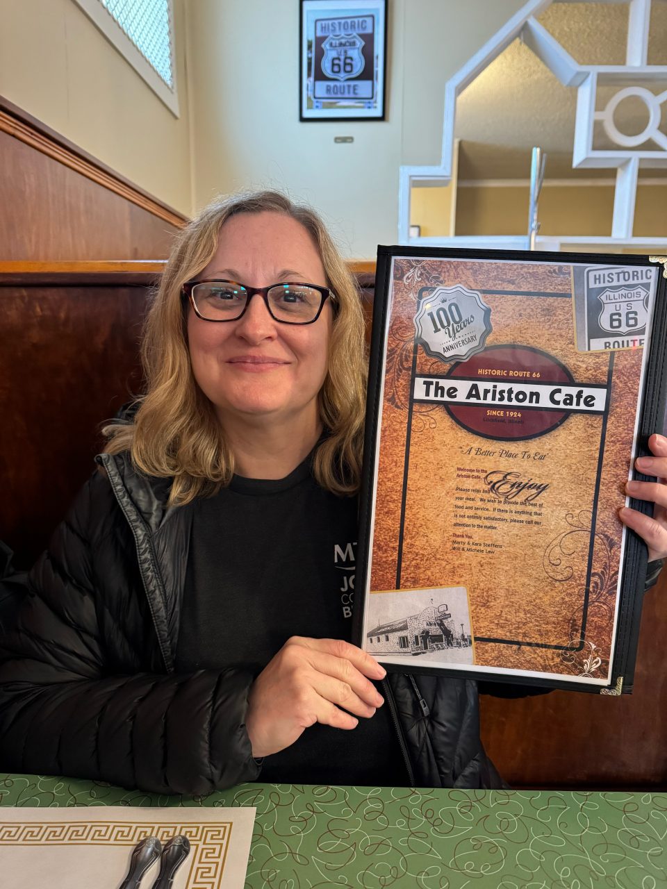
- Litchfield, Illinois
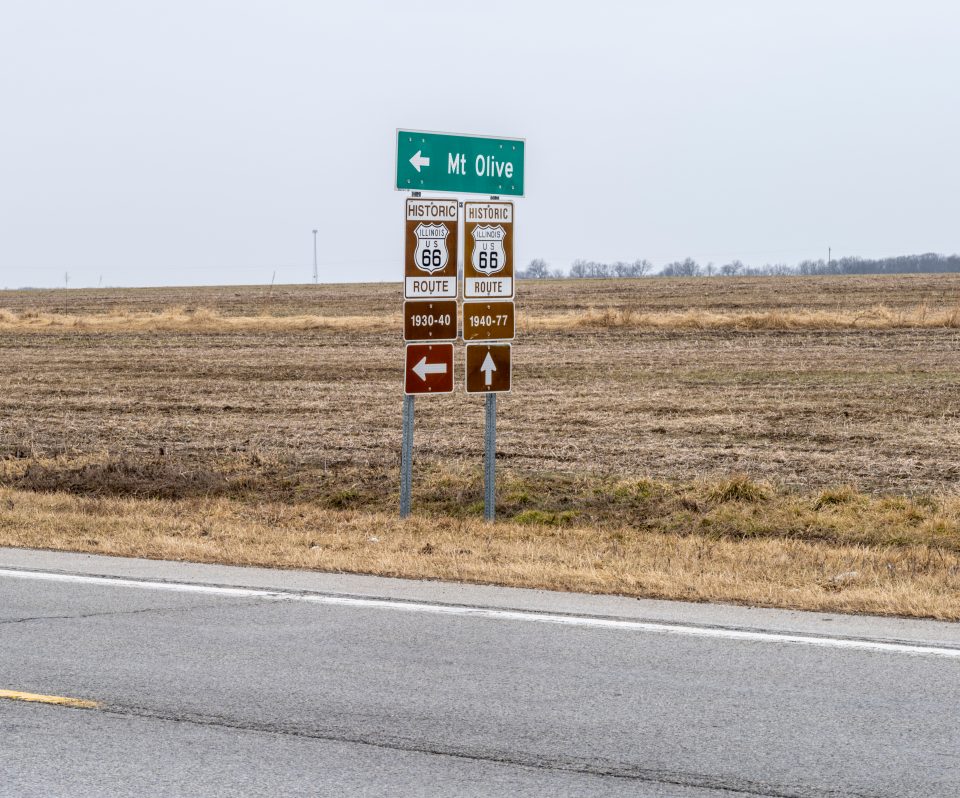
- Mount Olive, Illinois
- Avilla, Missouri
- Red Oak II, Missouri
- Carthage, Missouri
- Hext, Oklahoma
- Texola, Oklahoma
- Groom, Texas
- Amarillo, Texas
- Glenrio, Texas
- Glenrio, New Mexico
- Albuquerque, New Mexico
- Church Rock, New Mexico
- Petrified Forest, Arizona
- Holbrook, Arizona
- Twin Arrows, Arizona
- Williams, Arizona
- Ash Fork, Arizona
- Seligman, Arizona
- Oatman, Arizona
Get Your Kicks on Route 66
Route 66 opened in 1926, and became officially decommissioned in 1985. It took 12 years to get it fully paved from Chicago to Santa Monica, and the route was redrawn many times over the years, but this highway captured the hearts and imaginations of Americans (and the world) like no other.
Route 66 continues to be well represented in pop culture, from classic novels to movies and television shows, and of course the classic Bobby Troup song from 1946 that provided the soundtrack as well as a catchphrase for the Mother Road. Now on the centennial anniversary of the roadway, people are still getting their kicks on Route 66. Not many songs could be equally well covered by the likes of Nat King Cole, Chuck Berry, and The Rolling Stones (and yes — even Depeche Mode).
The Nat King Cole Trio version is my favorite. Watch it here.
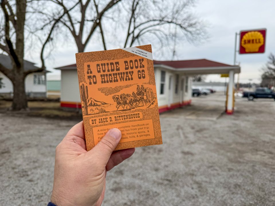
A Guide Book to Highway 66
In the same year Bobby Troup wrote the hit song “(Get your Kicks on) Route 66,” an author named Jack D. Rittenhouse published the first travel guide for Route 66. A Guide to Highway 66 was a detailed account of what travelers in the mid-to-late 1940s could expect on their road trip West on Route 66.
I bought a copy to see how Rittenhouse might describe some of the locations I have seen, but mostly, his directions are less narrative and more factual, giving an account of details like the number of motels could be found in a given town (then called motor courts according to Rittenhouse), or whether there was a gas station or cafe. Rittenhouse drove the entire length of Route 66 in a 1939 American Bantam automobile, and his guide to Route 66 was the first book of its kind about any highway in the U.S.
However, Rittenhouse did occasionally expand on the driving experience with a bit more description, like this paragraph about the infamous mountain route through Oatman, Arizona: “US 66 continues across the desert, occasionally passing the remains of burned-out gas stations. Occasionally a mine can be seen in the far distance, at the foothills of a brown mountain range. Skeletons of abandoned cars are frequent along the roadside.”
— From page 115 of the 1946 book, A Guide to Highway 66 by Jack D. Rittenhouse.
If you’re curious, a reprint of the this classic is available on Amazon here. (Affiliate link)
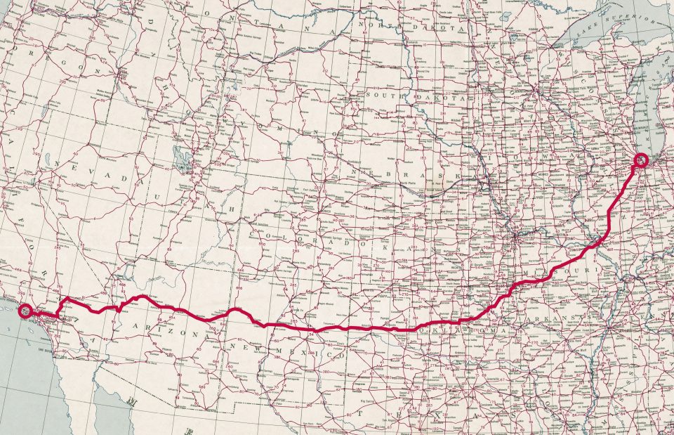
Route 66 highlighted on a 1950 map of U.S. Highways courtesy of the Library of Congress, Geography and Map Division.
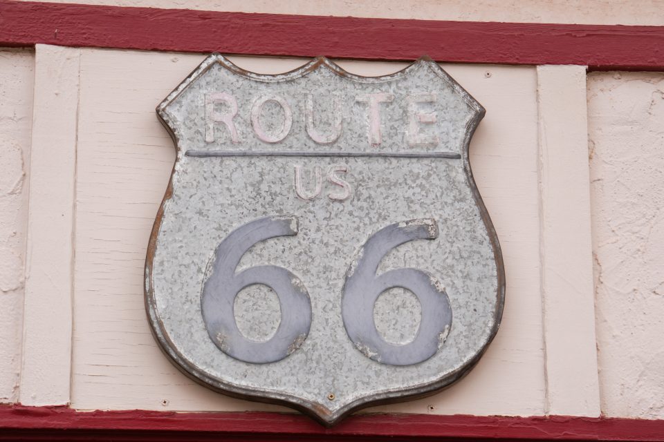
The Book’s ’66’ Icon Came from a Real Sign in Arizona
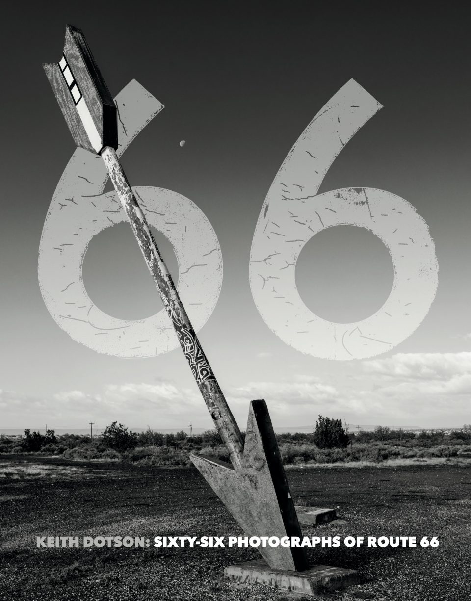
The sixty-six numbers that were used on the book’s cover and elsewhere, were extracted from a Route 66 sign in Williams, Arizona. Complete with authentic original cracks and textures, the distressed numerals perfectly embodied the spirt of my book, with its focus on the abandoned parts of Route 66.
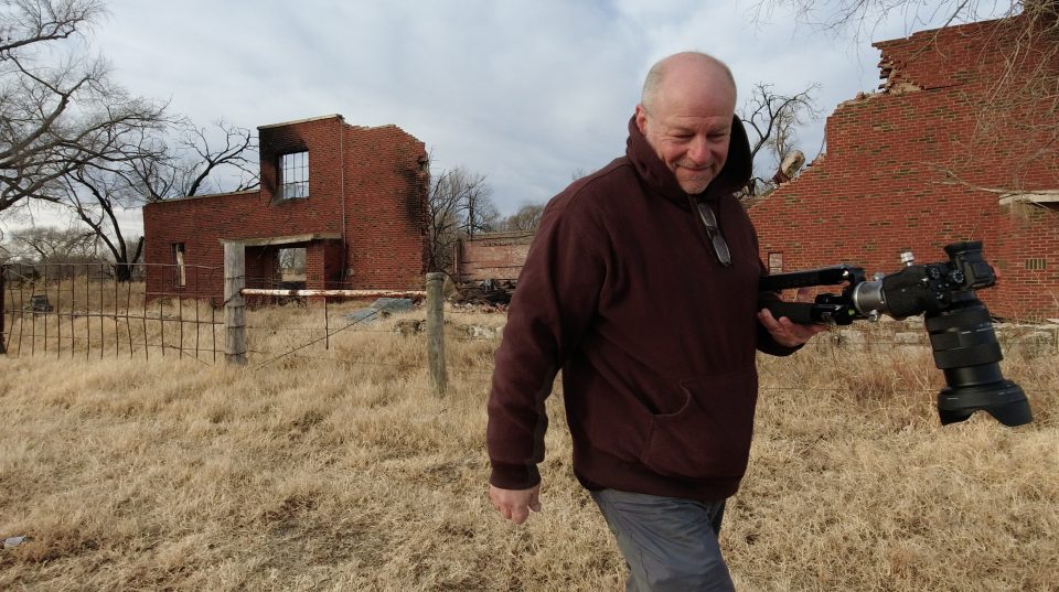
Behind-the-Scenes Photos from Route 66


Sources and Links
Never Quite Lost. “The Man Who Wrote Route 66.”
Rittenhouse, Jack. D. A Guide to Highway 66. 1946, reprinted 1989. Page 115.
Note: This blog post contains Amazon Affiliate inks. I may earn a modest commission on qualifying purchases.
Discover more from Shadows and Light
Subscribe to get the latest posts sent to your email.